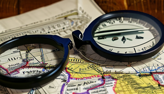
Karachi, a city bursting with life, has a story that unfolds through its streets, buildings, and yes, even its maps. Vintage maps are like time capsules, offering a glimpse into the past. They tell us about a Karachi that was once a small fishing village, transformed into a bustling metropolis. Have you ever wondered how a place changes over time? Maps hold the key to that mystery.
As you flip through these historical artifacts, you can almost hear the whispers of the past. Each line and contour on a vintage map represents a memory, a moment in time. For instance, the maps from the early 1900s show a Karachi with fewer roads and more open spaces. Fast forward to today, and you see a web of bustling streets and high-rises. It’s fascinating!
These maps also highlight the cultural shifts in the city. They reveal how different communities have settled and evolved. You might find areas that were once thriving neighborhoods now transformed into commercial hubs. It’s a visual journey that connects us to our roots. If you want to explore the essence of Karachi, dive into its vintage maps. They are not just images; they are stories waiting to be told.
The Evolution of Karachi’s Urban Landscape
Karachi, once a modest fishing village, has transformed into a bustling metropolis over the decades. It’s fascinating to look back at vintage maps and photographs that capture this evolution. These artifacts tell stories of growth, change, and resilience. Imagine a time when the city was just a dot on a map, surrounded by the vast Arabian Sea. Fast forward to today, and you see a vibrant urban landscape that never sleeps.
As we explore these maps, we notice significant shifts in infrastructure and population. The once narrow lanes have expanded into wide avenues bustling with life. High-rises now dominate the skyline, replacing quaint homes that once lined the streets. Each map serves as a time capsule, revealing how the city has adapted to the needs of its inhabitants. For instance, the development of the port was a game changer, making Karachi a key player in trade.
Take a moment to think about the demographics. Karachi’s population has exploded, drawing people from all over Pakistan and beyond. This influx has created a melting pot of cultures, languages, and traditions. Vintage maps highlight these changes, showing how neighborhoods have evolved. From the colonial architecture of Saddar to the modern designs in DHA, each area has its unique charm and history.
In essence, vintage maps are not just historical documents; they are windows into the past. They remind us of where we came from and how far we’ve come. So, the next time you stroll through Karachi, remember: every street has a story, and every corner holds a piece of history.
Significance of Vintage Maps in Historical Research
When we think about history, our minds often wander to books and documents. But have you ever considered the power of vintage maps? These old pieces of paper are more than just pretty pictures; they are like time machines that transport us back to the streets of Karachi from decades ago. Each map tells a story, revealing how the city has transformed over time.
Imagine flipping through a collection of maps. You might see areas that were once bustling with life, now quiet and forgotten. Or perhaps, you’ll find neighborhoods that have grown and evolved into vibrant communities. Vintage maps allow us to visualize the changes in Karachi’s urban landscape. They capture the essence of the city at different points in time, showing us where people lived, worked, and played.
But why are these maps so crucial for historical research? Here are a few reasons:
- Contextual Understanding: They provide a backdrop for historical events, helping researchers connect the dots.
- Cultural Insights: Maps reveal the social dynamics of the time, showcasing how communities interacted.
- Urban Development: They illustrate the evolution of infrastructure, highlighting the growth patterns of Karachi.
In essence, vintage maps serve as a visual journey through the past. They enrich our understanding of Karachi’s history, allowing us to appreciate the city’s rich tapestry. So next time you see an old map, take a moment to explore its story. You might just discover a hidden piece of Karachi’s heart.
Frequently Asked Questions
- What are vintage maps, and why are they important?
Vintage maps are historical representations of geographical areas, often showcasing the evolution of places over time. They are crucial for understanding the past, as they reveal how cities like Karachi have changed in terms of infrastructure, culture, and demographics.
- How can vintage maps enhance our understanding of Karachi’s history?
These maps provide a visual narrative of Karachi’s development, highlighting significant changes in urban planning and population shifts. By studying them, we can uncover hidden stories and gain insights into the social dynamics that shaped the city.
- Where can I find vintage maps of Karachi?
You can find vintage maps at local libraries, museums, or online archives. Many historical societies also offer access to collections that feature maps, allowing you to explore Karachi’s rich history from the comfort of your home.
- Can vintage maps be used in modern urban planning?
Absolutely! Urban planners often utilize vintage maps to understand historical land use, which can inform current development strategies. They help planners visualize past patterns, aiding in sustainable growth while preserving the city’s heritage.